At 1,210 feet elevation along the alluvial fans of the San Gabriel Mountains, Rancho Cucamonga presents a compacted fill profile that demands rigorous verification. The Cucamonga Fault trace runs just north of the city, and structural fills here must satisfy both seismic settlement criteria and stormwater infiltration requirements under the County’s LID ordinance. With over 175,000 residents spread across 40 square miles, Rancho Cucamonga has seen steady development of distribution centers and residential subdivisions, each requiring documented field density results before foundations or pavement sections proceed. Our team runs sand cone tests per ASTM D1556 to confirm that lifts meet the 90–95% relative compaction specified in the geotechnical report, reducing the risk of differential settlement in this seismically active corridor. When evaluating deeper subgrade conditions beneath planned warehouse slabs, we often pair the surface density data with CPT soundings to map any undocumented fill pockets that could compromise uniform compaction.
Direct volume measurement with sand cone eliminates the mineralogy interference that can skew nuclear gauge readings in Rancho Cucamonga’s decomposed granite fills.
Scope of work
Area-specific notes
Sites south of Foothill Boulevard and those north of Highland Avenue sit on quite different depositional units. The southern areas, closer to the historic Santa Ana River floodplain, often have deeper silt lenses that retain moisture and can show passing density at the time of testing but soften after a wet winter if the compaction moisture content wasn’t within 2% of optimum. The northern terraces, cut into older alluvium, tend to drain well but have more cobble-sized clasts that create bridging during the sand pour, artificially inflating the measured volume and thus under-reporting density if the technician isn’t careful. Our field crew rotates through both zones regularly and adjusts the excavation technique — hand-trimming the hole walls in cobbly material — to keep the measurement error under the 1% threshold that ASTM D1556 allows.
Standards used
ASTM D1556-15e1: Standard Test Method for Density and Unit Weight of Soil in Place by Sand-Cone Method, ASTM D698-12e2: Standard Test Methods for Laboratory Compaction Characteristics of Soil Using Standard Effort, Caltrans Section 19: Earthwork (applicable for public works within Rancho Cucamonga), City of Rancho Cucamonga Grading Ordinance, Title 15 of Municipal Code
Linked services
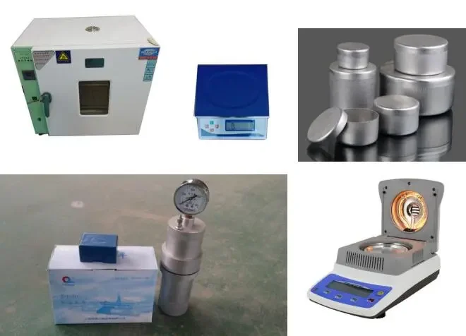
Sand Cone Field Density
ASTM D1556 testing on grading fills, utility trench backfill, and aggregate base with same-day density and moisture reports formatted for City submittal.
Laboratory Proctor Curves
Standard (ASTM D698) and modified (ASTM D1557) Proctor tests on site-specific soils to establish the target dry density and optimum moisture before field compaction begins.
Nuclear Gauge Correlation
Side-by-side sand cone and nuclear gauge readings to build a moisture/density calibration curve, enabling faster gauge testing on large Rancho Cucamonga sites after initial validation.
Typical parameters
Common questions
How much does a sand cone density test cost in Rancho Cucamonga?
A single ASTM D1556 sand cone test in Rancho Cucamonga typically runs between US$90 and US$150, depending on the number of tests requested per mobilization and the site location relative to the 15 or 210 freeways.
How does the sand cone method compare to a nuclear gauge?
The sand cone method measures volume directly by filling the excavated hole with calibrated Ottawa sand, so it avoids the mineralogy and moisture interference that can produce biased readings on a nuclear gauge. In Rancho Cucamonga’s decomposed granite soils, sand cone is often the referee method when nuclear gauge results are in dispute, though it takes about 20–30 minutes per test versus a few minutes for the gauge.
What compaction percentage is required for building pads in Rancho Cucamonga?
The City of Rancho Cucamonga typically requires 90% of ASTM D1557 maximum dry density for structural fill under building pads, and 95% for the upper 12 inches of subgrade beneath pavements and floor slabs. The exact number is set in the project’s geotechnical report and verified by our sand cone tests during grading.